Data and Resources
- Field Sample Plot Locations for each propertyzip
Field data for carbon storage within woody biomass were collected at each of...
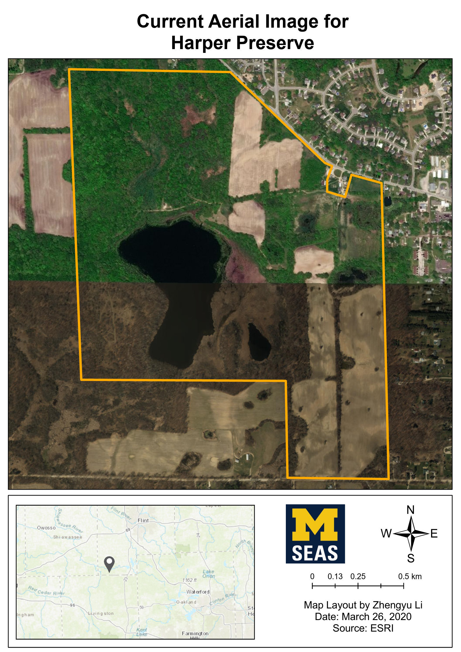
Download - Property boundary of Harper Preservezip
Boundary of the University of Michigan Harper Preserve property. The...
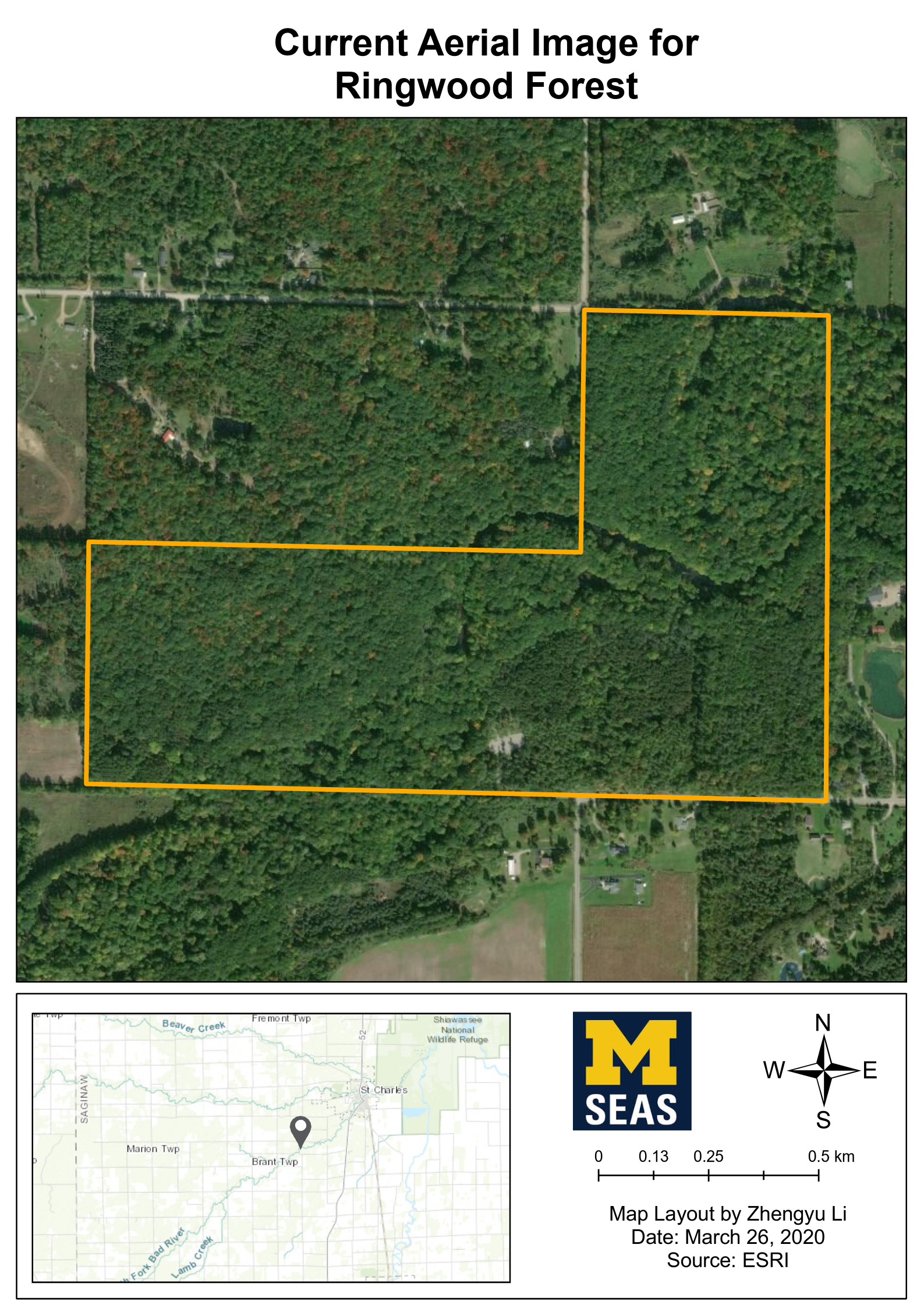
Download - Property boundary of Ringwood Forestzip
Boundary of the University of Michigan Ringwood Forest property. The...
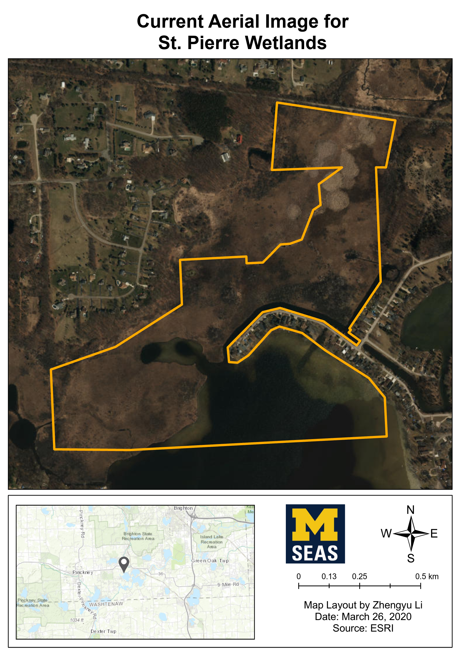
Download - Property boundary of St. Pierre Wetlandzip
Boundary of the University of Michigan St. Pierre Wetland property. The...
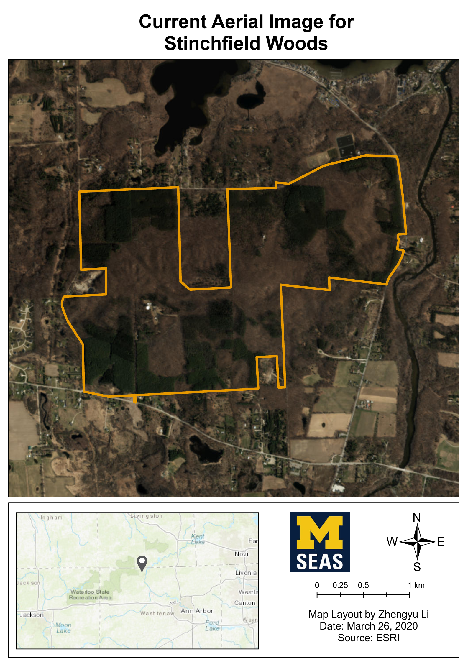
Download - Current Aerial Images for each propertyzip
High resolution aerial imageries were from Nearmap, include property...
Download - Current LULC (Land Use/Land Change) Raster data for each propertyzip
Supervised LULC Classifications
Download
To analyze the current land use and... - Current LULC (Land Use/Land Change) Map Layouts for each propertyzip
Supervised LULC Classifications
Download
To analyze the current land use and... - Drone Orthomosaic Image of Harper Preservezip
An orthomosaic of the Southwest portion of Harper Preserve including Murray...
Download


| Field | Value |
|---|---|
| Publisher | |
| Modified | 2021-07-27 |
| Release Date | 2021-06-23 |
| Rights | This dataset is still required for editing. |
| Spatial / Geographical Coverage Area | POLYGON ((-84.260035827756 42.186386656408, -84.260035827756 42.863874976379, -83.268089219928 42.863874976379, -83.268089219928 42.186386656408)) |
| Temporal Coverage | Friday, November 1, 2019 - 00:00 to Saturday, February 29, 2020 - 00:00 |
| Author | |
| Contact Name | Yifan Luo |
| Contact Email | |
| Public Access Level | Public |

![[Open Data]](https://assets.okfn.org/images/ok_buttons/od_80x15_blue.png)