Data and Resources
- Stinchfield Woods Full Aerial Photo 2000 (north)zip
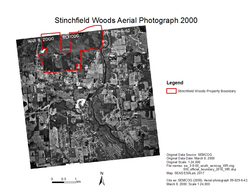
Historical aerial image of Stinchfield Woods taken March 8th, 2000 at 1:24,...
Download - Stinchfield Woods Full Aerial Photo 2000 (south)zip
Historical aerial image of Stinchfield Woods taken March 8th, 2000 at 1:24,...
Download - Stinchfield Woods Full Aerial Photo 1995 (east)zip
Historical aerial image of Stinchfield Woods taken April 24th, 1995 at 1:24,...
Download - Stinchfield Woods Full Aerial Photo 1995 (west)zip
Historical aerial image of Stinchfield Woods taken April 24th, 1995 at 1:24,...
Download - Stinchfield Woods Full Aerial Photo 1990 (east)zip
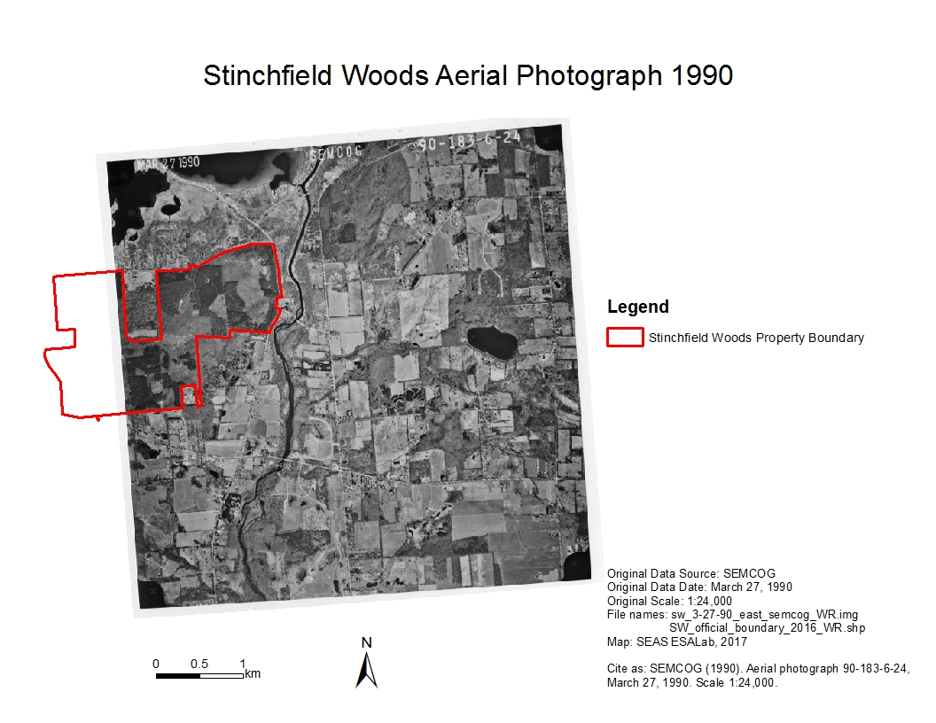
Historical aerial image of Stinchfield Woods taken March 27th, 1990 at 1:24,...
Download - Stinchfield Woods Full Aerial Photo 1990 (west)zip
Historical aerial image of Stinchfield Woods taken March 27th, 1990 at 1:24,...
Download - Stinchfield Woods Full Aerial Photo 1990 (southwest)zip
Historical aerial image of Stinchfield Woods taken March 27th, 1990 at 1:24,...
Download - Stinchfield Woods Full Aerial Photo 1985 (east)zip
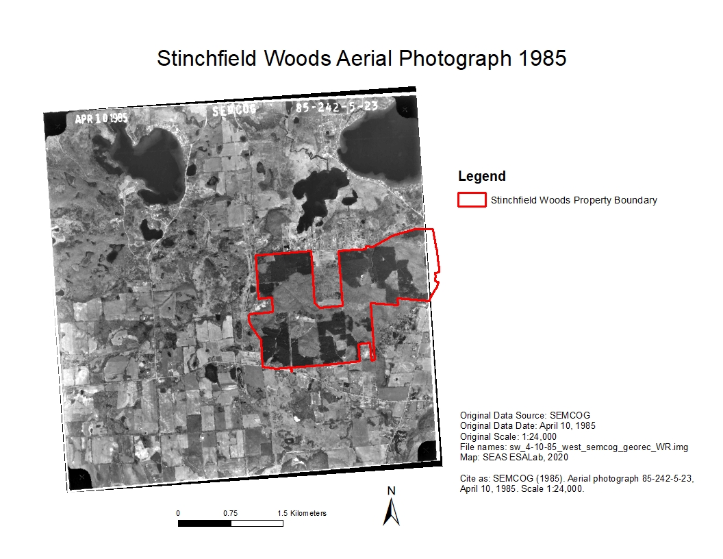
Historical aerial image of Stinchfield Woods taken April 10th, 1985 at 1:24,...
Download - Stinchfield Woods Full Aerial Photo 1985 (west)zip
Historical aerial image of Stinchfield Woods taken April 10th, 1985 at 1:24,...
Download - Stinchfield Woods Full Aerial Photo 1980 (east)zip
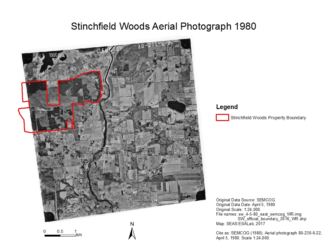
Historical aerial image of Stinchfield Woods taken April 5th, 1980 at 1:24,...
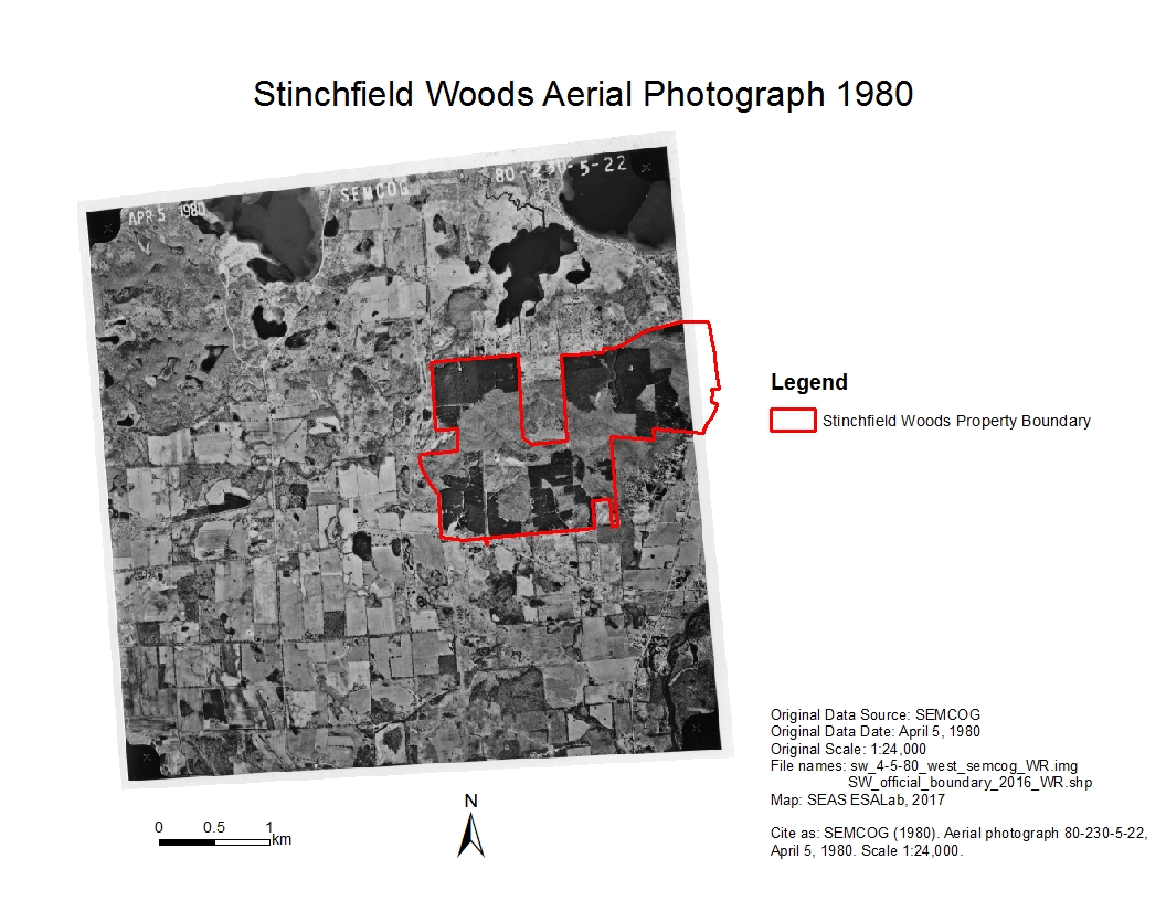
Download - Stinchfield Woods Full Aerial Photo 1980 (west)zip
Historical aerial image of Stinchfield Woods taken April 5th, 1980 at 1:24,...
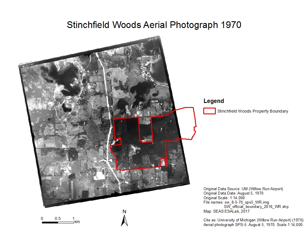
Download - Stinchfield Woods Full Aerial Photo 1970 (northeast)zip
Historical aerial image of Stinchfield Woods taken August 5th, 1970 at 1:14,...
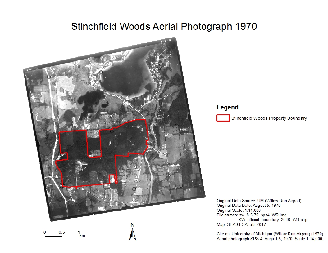
Download - Stinchfield Woods Full Aerial Photo 1970 (east)zip
Historical aerial image of Stinchfield Woods taken August 5th, 1970 at 1:14,...
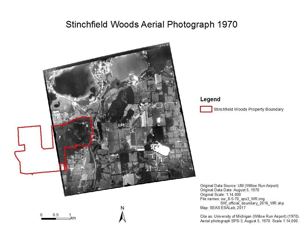
Download - Stinchfield Woods Full Aerial Photo 1970 (west)zip
Historical aerial image of Stinchfield Woods taken August 5th, 1970 at 1:14,...
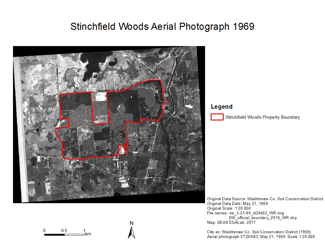
Download - Stinchfield Woods Full Aerial Photo 1969zip
Historical aerial image of Stinchfield Woods taken May 21st, 1969 at 1:20,...
Download - Stinchfield Woods Full Aerial Photo 1963zip
Historical aerial image of Stinchfield Woods taken September 14th, 1963 at 1...
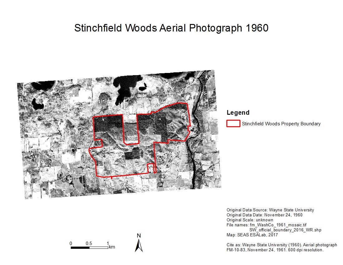
Download - Stinchfield Woods Full Aerial Photo 1961zip
Historical aerial image of Stinchfield Woods taken November 24th, 1961,...
Download - Stinchfield Woods Full Aerial Photo 1955zip
Historical aerial image of Stinchfield Woods taken August 11th, 1955 at 1:15...
Download - Stinchfield Woods Full Aerial Photo 1949zip
Historical aerial image of Stinchfield Woods taken October 27th, 1949 at 1:...
Download








| Field | Value |
|---|---|
| Publisher | |
| Modified | 2021-07-19 |
| Release Date | 2020-02-10 |
| Spatial / Geographical Coverage Area | POLYGON ((-83.957347869873 42.381822154246, -83.957347869873 42.417569847377, -83.891773223877 42.417569847377, -83.891773223877 42.381822154246)) |
| Spatial / Geographical Coverage Location | 9401 Stinchfield Woods Rd, Pinckney, MI 48169 |
| Temporal Coverage | Thursday, October 27, 1949 - 00:00 to Wednesday, March 8, 2000 - 00:00 |
| Contact Name | Bergen, Kathleen |
| Contact Email | |
| Public Access Level | Public |

![[Open Data]](https://assets.okfn.org/images/ok_buttons/od_80x15_blue.png)