Abstract:
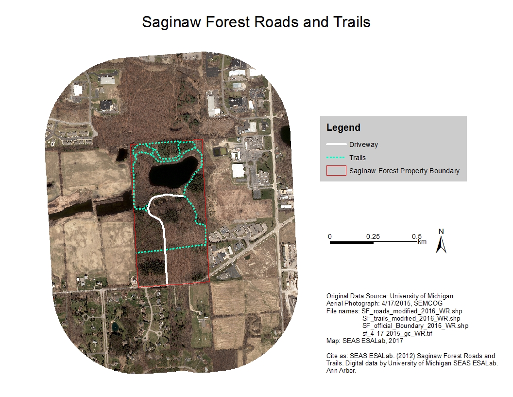
Roads, trails, driveways on or near the UM Saginaw Forest property. Data types: Polyline Shapefile.
Data and Resources
- Saginaw Forest Roadszip
Roads and driveways on or near the UM Saginaw Forest property. Data types:...
Download - Saginaw Forest Trailszip
Trails on or near the UM Saginaw Forest property. Data types: Polyline...
Download

| Field | Value |
|---|---|
| Publisher | |
| Modified | 2021-07-10 |
| Release Date | 2020-02-05 |
| Spatial / Geographical Coverage Area | POLYGON ((-83.809976577759 42.269404768641, -83.809976577759 42.278550104256, -83.802509307861 42.278550104256, -83.802509307861 42.269404768641)) |
| Spatial / Geographical Coverage Location | 3900 W Liberty Rd, Ann Arbor, MI 48103 |
| Temporal Coverage | Sunday, January 1, 2012 - 00:00 to Saturday, December 31, 2016 - 00:00 |
| Contact Name | Bergen, Kathleen |
| Contact Email | |
| Public Access Level | Public |
Publication Date:
Wednesday, February 5, 2020

![[Open Data]](https://assets.okfn.org/images/ok_buttons/od_80x15_blue.png)