Data and Resources
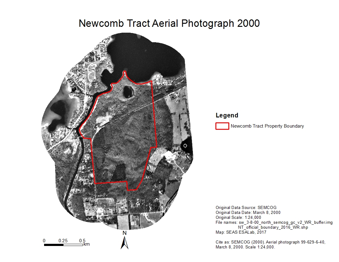
- Newcomb Tract Buffer Aerial Photo 2000zip
Historical aerial image of the Newcomb Tract and 500-meter buffer zone area...
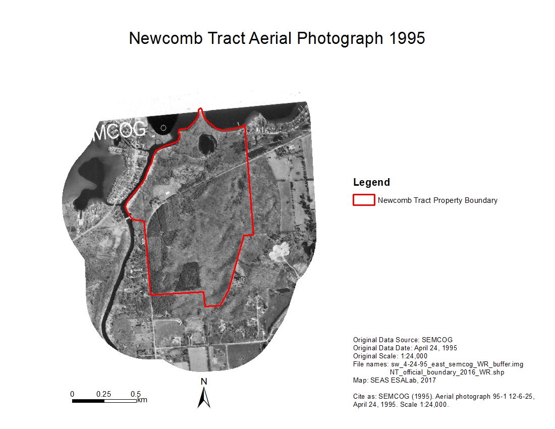
Download - Newcomb Tract Buffer Aerial Photo 1995zip
Historical aerial image of the Newcomb Tract and 500-meter buffer zone area...
Download - Newcomb Tract Buffer Aerial Photo 1990zip
Historical aerial image of the Newcomb Tract and 500-meter buffer zone area...
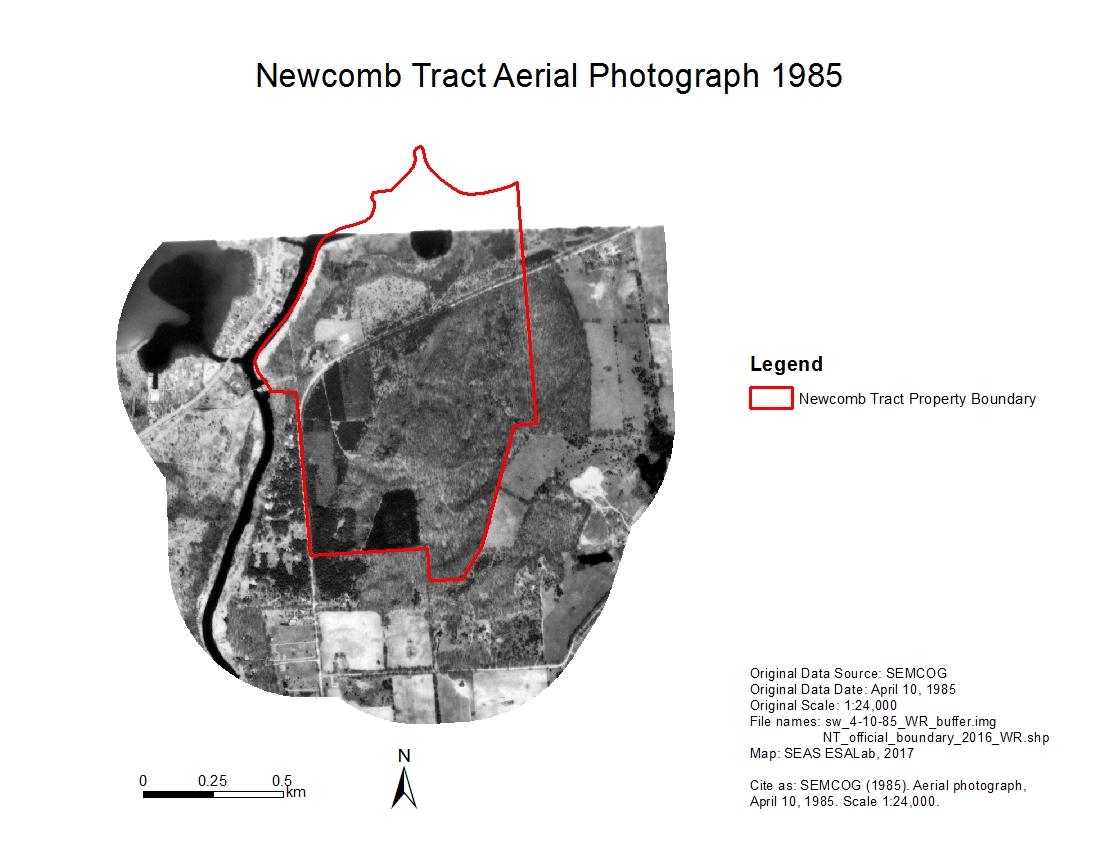
Download - Newcomb Tract Buffer Aerial Photo 1985zip
Historical aerial image of the Newcomb Tract and 500-meter buffer zone area...
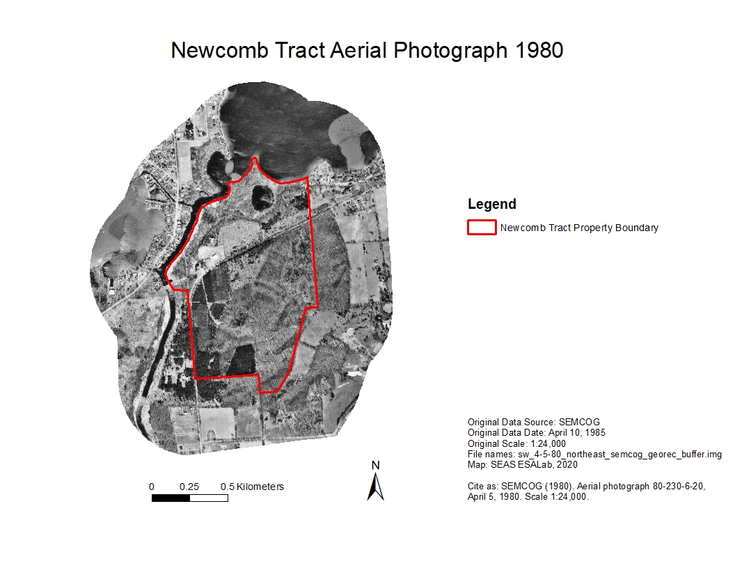
Download - Newcomb Tract Buffer Aerial Photo 1980zip
Historical aerial image of the Newcomb Tract and 500-meter buffer zone area...
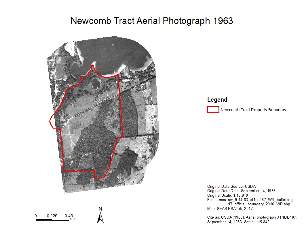
Download - Newcomb Tract Buffer Aerial Photo 1963zip
Historical aerial image of the Newcomb Tract and 500-meter buffer zone area...
Download - Newcomb Tract Buffer Aerial Photo 1955zip
Historical aerial image of the Newcomb Tract and 500-meter buffer zone area...
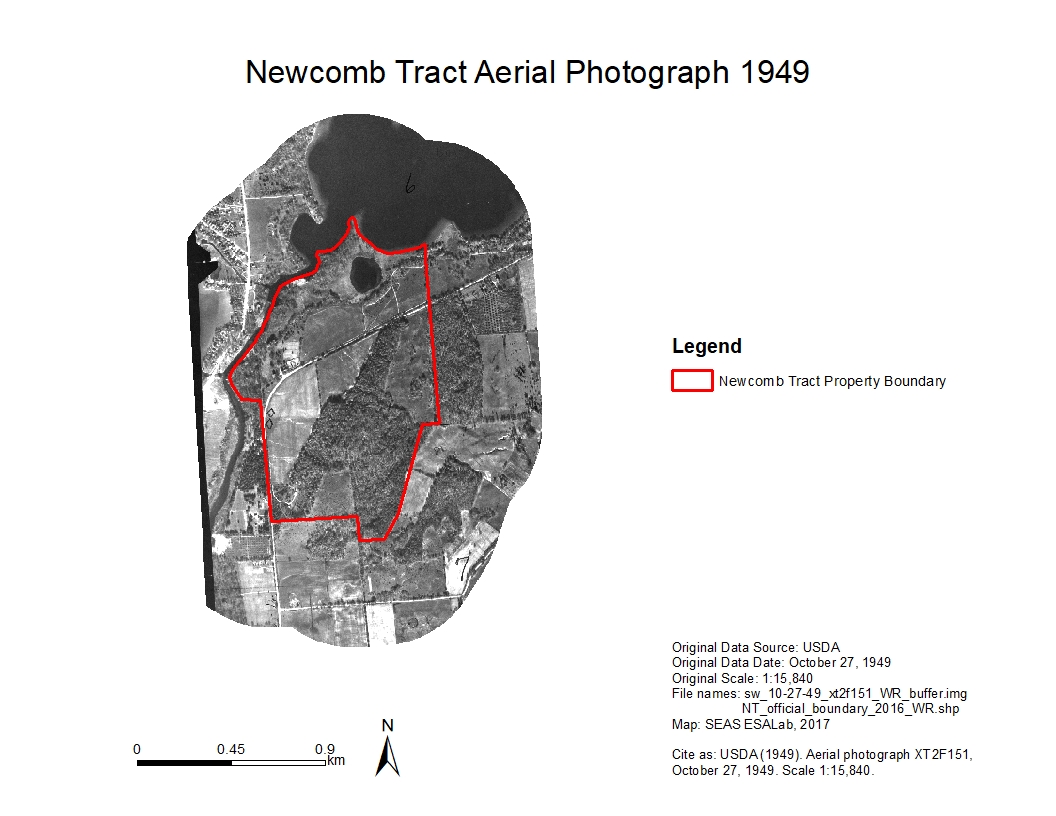
Download - Newcomb Tract Buffer Aerial Photo 1949zip
Historical aerial image of the Newcomb Tract and 500-meter buffer zone area...
Download


| Field | Value |
|---|---|
| Publisher | |
| Modified | 2021-07-19 |
| Release Date | 2020-03-10 |
| Spatial / Geographical Coverage Area | POLYGON ((-83.914432525635 42.398430885023, -83.914432525635 42.426440233046, -83.878726959229 42.426440233046, -83.878726959229 42.398430885023)) |
| Spatial / Geographical Coverage Location | 42°24'47.7"N 83°53'55.8"W |
| Temporal Coverage | Thursday, October 27, 1949 - 00:00 to Wednesday, March 8, 2000 - 00:00 |
| Contact Name | Bergen, Kathleen |
| Contact Email | |
| Public Access Level | Public |

![[Open Data]](https://assets.okfn.org/images/ok_buttons/od_80x15_blue.png)