Data and Resources
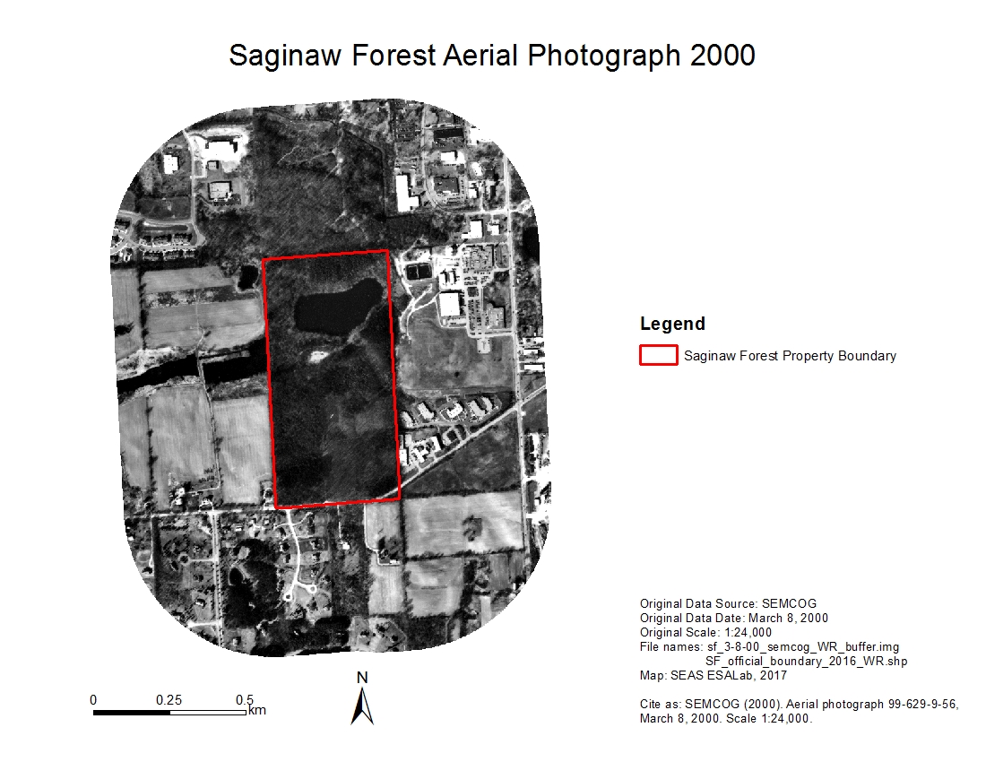
- Saginaw Forest Buffer Aerial Photo 2000zip
Historical aerial image of Saginaw Forest and 500-meter-buffer zone area,...
Download - Saginaw Forest Buffer Aerial Photo 1998zip
Historical aerial image of Saginaw Forest and 500-meter-buffer zone area,...
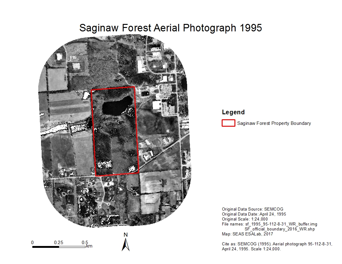
Download - Saginaw Forest Buffer Aerial Photo 1995zip
Historical aerial image of Saginaw Forest and 500-meter-buffer zone area,...
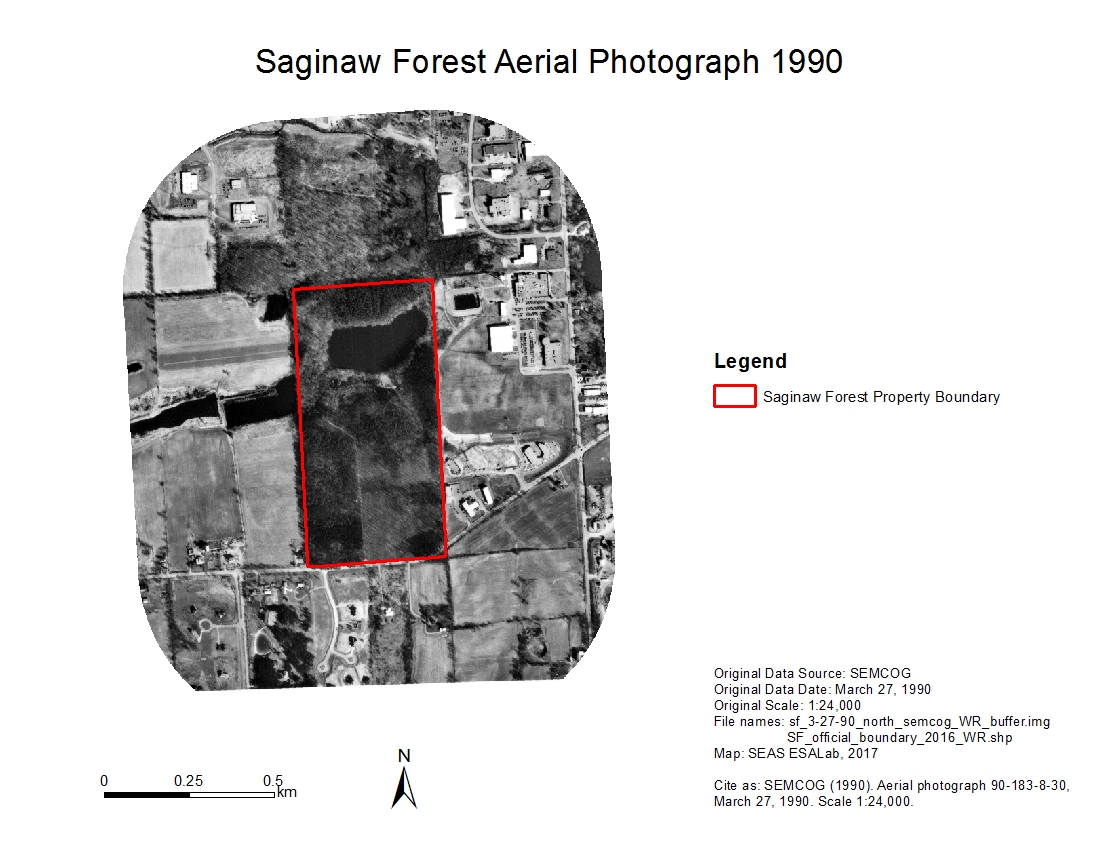
Download - Saginaw Forest Buffer Aerial Photo 1990 (north)zip
Historical aerial image of Saginaw Forest and 500-meter-buffer zone area,...
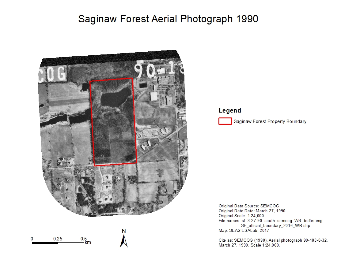
Download - Saginaw Forest Buffer Aerial Photo 1990 (south)zip
Historical aerial image of Saginaw Forest and 500-meter-buffer zone area,...
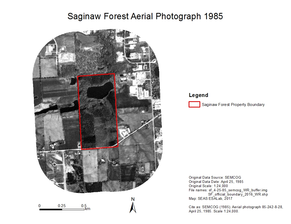
Download - Saginaw Forest Buffer Aerial Photo 1985zip
Historical aerial image of Saginaw Forest and 500-meter-buffer zone area,...
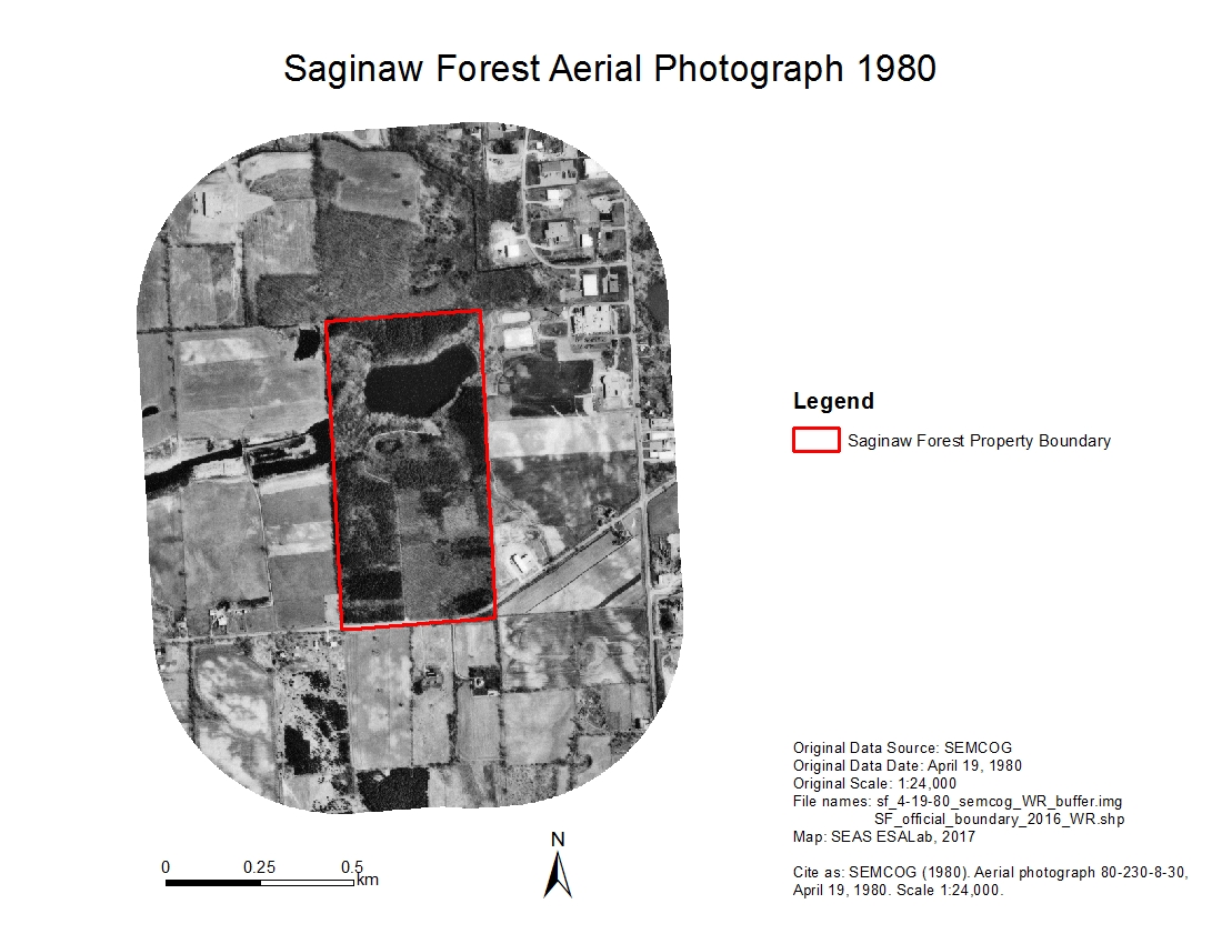
Download - Saginaw Forest Buffer Aerial Photo 1980zip
Historical aerial image of Saginaw Forest and 500-meter-buffer zone area,...
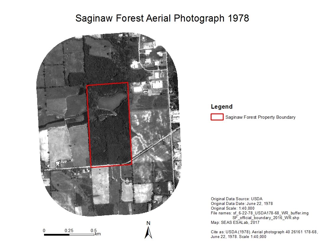
Download - Saginaw Forest Buffer Aerial Photo 1978zip
Historical aerial image of Saginaw Forest and 500-meter-buffer zone area,...
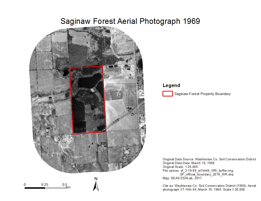
Download - Saginaw Forest Buffer Aerial Photo 1969zip
Historical aerial image of Saginaw Forest and 500-meter-buffer zone area,...
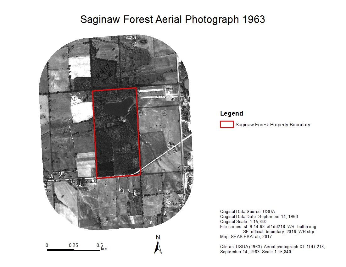
Download - Saginaw Forest Buffer Aerial Photo 1963zip
Historical aerial image of Saginaw Forest and 500-meter-buffer zone area,...
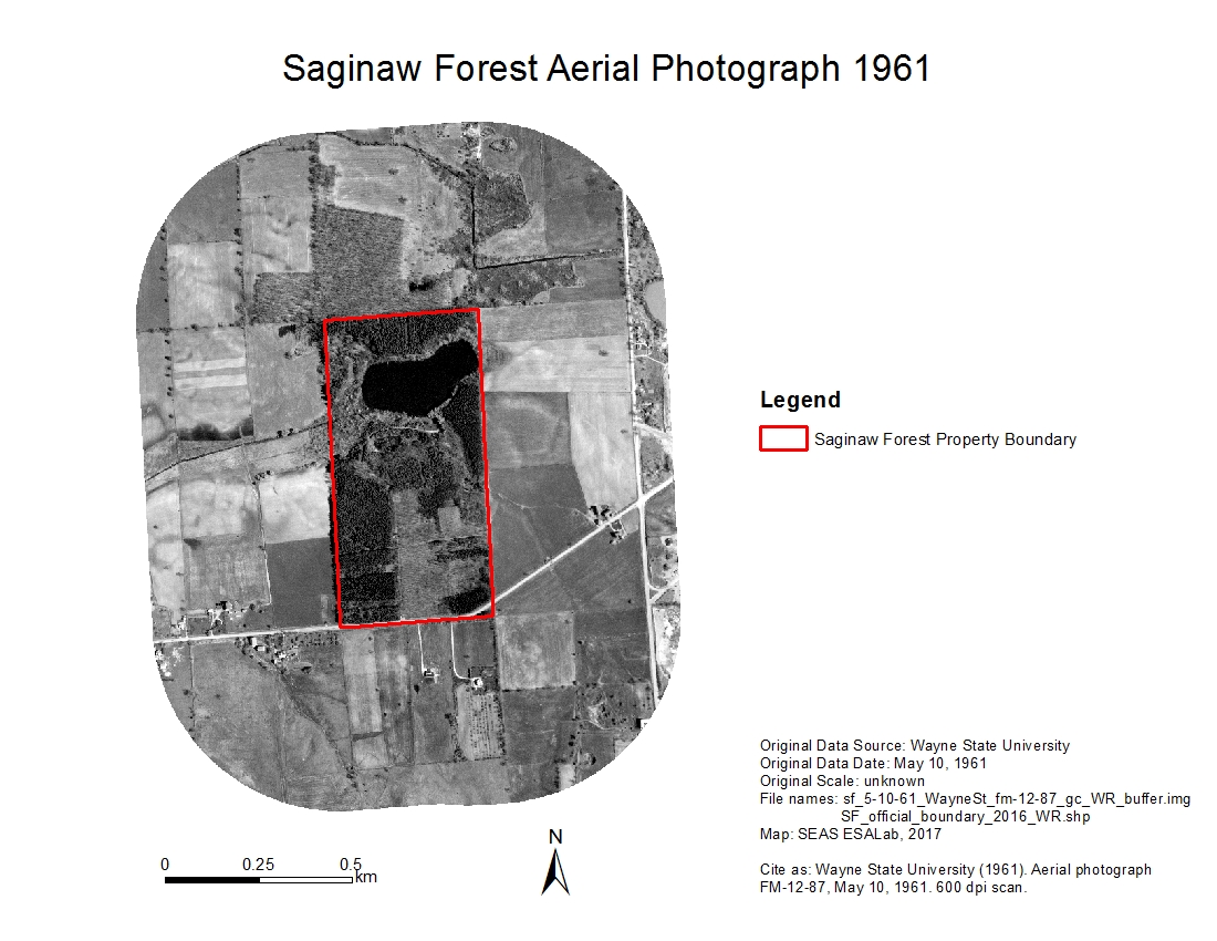
Download - Saginaw Forest Buffer Aerial Photo 1961zip
Historical aerial image of Saginaw Forest and 500-meter-buffer zone area,...
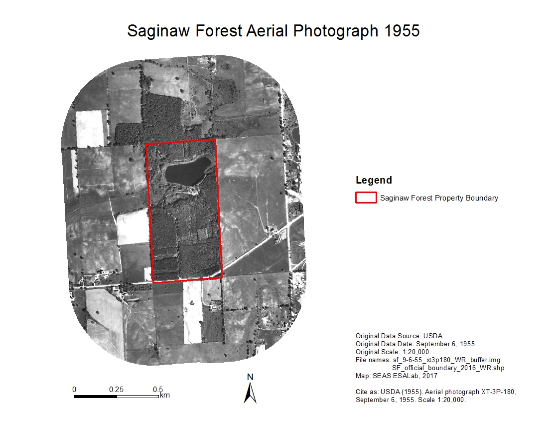
Download - Saginaw Forest Buffer Aerial Photo 1955zip
Historical aerial image of Saginaw Forest and 500-meter-buffer zone area,...
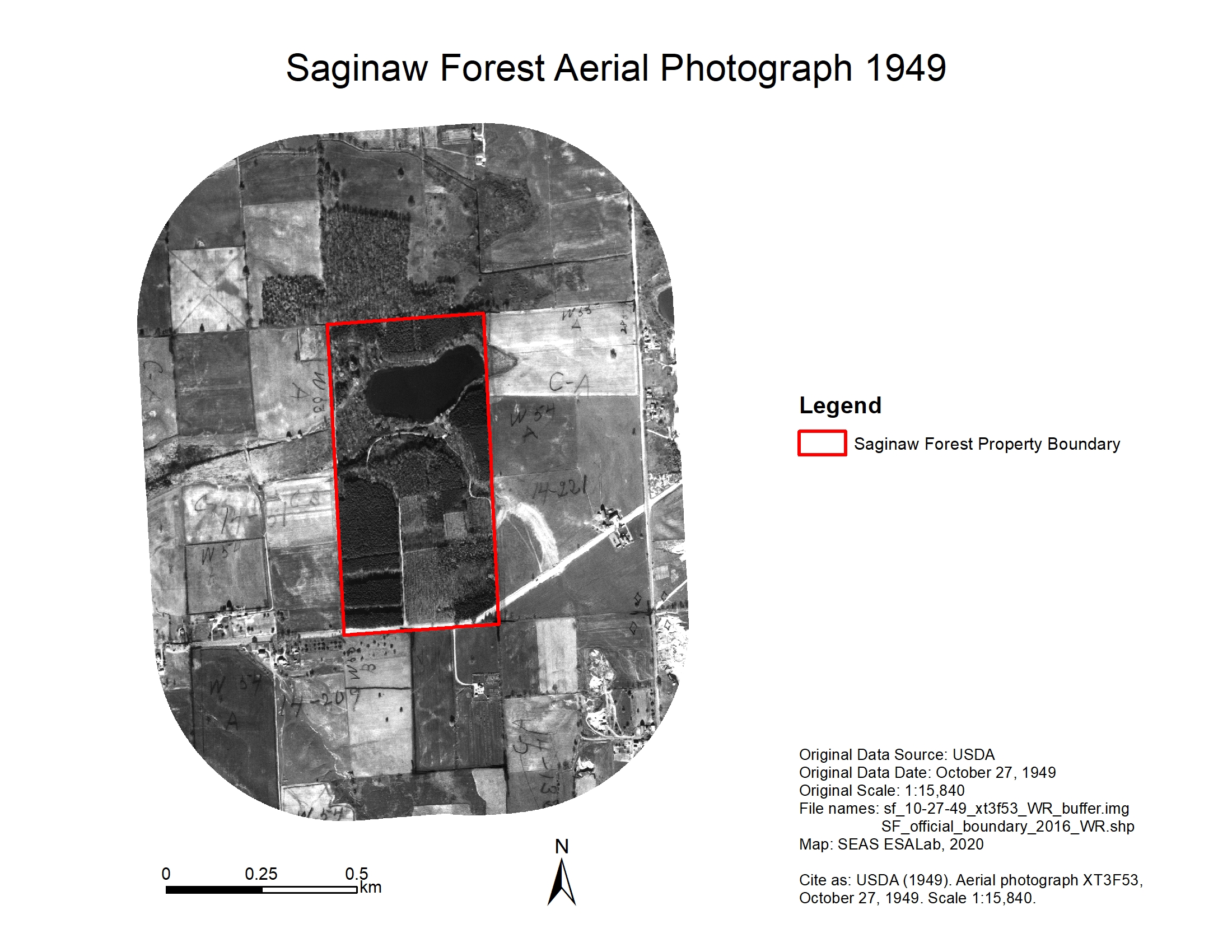
Download - Stinchfield Woods Buffer Aerial Photo 1949zip
Historical aerial photo of Saginaw Forest and 500-meter buffer zone area...
Download
| Field | Value |
|---|---|
| Publisher | |
| Modified | 2022-07-28 |
| Release Date | 2020-02-07 |
| Spatial / Geographical Coverage Area | POLYGON ((-83.811435699463 42.268833141103, -83.811435699463 42.279058139546, -83.802080154419 42.279058139546, -83.802080154419 42.268833141103)) |
| Spatial / Geographical Coverage Location | 3900 W Liberty Rd, Ann Arbor, MI 48103 |
| Temporal Coverage | Thursday, October 27, 1949 - 00:00 to Wednesday, March 8, 2000 - 00:00 |
| Contact Name | Bergen, Kathleen |
| Contact Email | |
| Public Access Level | Public |

![[Open Data]](https://assets.okfn.org/images/ok_buttons/od_80x15_blue.png)