UMBS MAPS Sites
Site Overview:
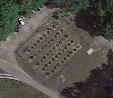
Breeding bird survey sites where intensive surveys have been conducted.
Group membership:
Longitude/Latitude:
POINT (-84.742667 45.580147)
Breeding bird survey sites where intensive surveys have been conducted.
Not used nearly as much as the aspen bird census plot.
The PROPHET (Program for Research on Oxidants: PHotochemistry, Emissions, and Transport) tower an
Built 1987 with NSF funds. PI=Bob Fogel. Other inv. include John Lussenhop and Dave Atkinson.
Approx. 10,000 acres around Douglas Lake.
The UMBS Stream Research Facility was built and first operated in 1993 with NSF funds.
Installed 1994 in clearing cut for these instruments; funding provided by USDA.
A 1 ha mapped vegetation plot with approximately 2860 mapped trees.
50 wetland mesocosms, buried circular tanks with water controls.
Part of the Ocqueoc River system. SA = 40 acres, max. depth = 67 feet.
Drains into Platte Lake W of Honor.
Drains into E Branch of Maple River, usu. dry by midsummer.
Small stream draining into Canada Creek.
A sand pit in Emmet Co., just off Van Road next to the gas pipeline, much used for studies of amp
Ends on the E at Douglas Lake, Silverstrand Rd.
Part of the Glennie Lakes study.
Viking Lake has a surface area of 39.8 acres and a maximum depth of approximately 25 feet.
A small (SA = 12.32 ha) seepage lake, with a small watershed (39 ha).
A rich fen, probably larger and more biologically diverse than Smith Fen.
Some of the most expensive lake frontage in N. Michigan; 4 basins.
Cairns sampled for protozoa in 1981.
Peninsula in Lake Michigan, noted for its wetlands, bass fishing, and sandy shores (Piping plover
A small, oval-shaped seepage lake. SA = 11.4 ha and moderately shallow. Watershed = 306 ha.
Drains into Carp River, under Cecil Bay Road.
N terminus is at Riggsville Rd, S terminus at Brutus Rd.
A sinkhole lake. Used by Momot?
A LTC preserve: the first one, acquired in 1974; a mixed hardwood and conifer swamp, 14 acres, ju
Huge bay of Lake Superior, N & E of Sault Ste. Marie.
Interesting elements of northern vegetation: Potentilla tridentata, Hudsonia tomentosa var.
Alex Smith collected wood inhabiting fungi here; most productive both in June and again in Septem
Noted especially for its sand beaches and dunal system in Sturgeon Bay.
An artificial lake created about 1964 for second home development by damming up a small creek.
Only George Hammond and Tom DeWitt have used it (NETP students, 1989).
The northern parts of secs. 13, 14. At one time, the largest cedars in the Douglas Lake region.
Futyma (Ph.D.): a small kettle-hole lake on an outwash plain graded to the level of Glacial lake
Drains Wycamp Lake into Lake Michigan.
Loon nesting area, NE of Cross Village.
